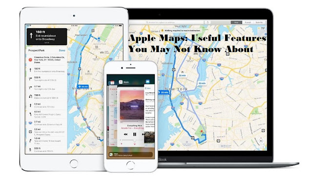
With constant improvements, Apple Maps is nothing less than Google Maps now. Apple has been working constantly on its Maps app to make it convenient and useful for the users. Guess what? Their efforts are experiencing success. May it be your local retailer’s phone number, the nearest Starbucks, or the weather conditions of the place you are traveling to, Apple Maps can tell you all. So, we have put together a list of all such new and useful features in Apple Maps that you may not know about.
Changing the Map View
You might be using Apple Maps daily, but it’s quite a fact that you never fiddled around the settings of the map to realize that you can change your view. Apple’s Maps offer a few options for different views, including Map, Transit, Satellite, and more. You have a few main options. All you have to do is identify the toolbar and choose the view you would prefer, then press the “i” icon. Once in there, you will find a pictorial representation of what each view looks like. The first option, Map is the default view, whereas transit will display all public transits available nearby. The satellite view provides a real-world look at your location.
Changing Your Perspective
Apple Maps default 2D view feels as if you are flying above the map. However, if you change your perspective to 3D, you will find it way easier to understand the streets, city, and world around you.
To enter the 3D view, first, activate the satellite view as explained above, then you will find a “3D” button if the area you are in has 3D-compatible geography. After enabling 3D in the satellite view, you will notice that the map view tilts slightly, and the objects like buildings or parks start appearing in 3D mode. Note that 3D mode will only work when you zoom in on the map.
Looking Around
Undoubtedly, looking around is one of the most useful customization features on Apple Maps. This feature allows you to see the street level in full screen. It helps you to navigate around the immediate area while locating your place of interest. To enable the Look Around feature, tap on the binoculars icon in the upper-right of any location whenever you see it. This is by far the perfect way to find exactly what or where you need to find it.
Creating a Collection
Most likely, we all have a list of favorite parks, restaurants, or coffee shops that we often like to visit. So, won’t it be convenient to have a collection of such places saved in our maps? Well, Apple understood this and introduced the same customization option in its Maps app.
To do so, search for any place you like (using a local park for example). You will find an “Add to” button, right beneath the large blue button for directions. Tap on this button to create a collection of favorites or to add this place to an existing collection.
Driving and Transit Options
Regularly moving on roads using private or public transportation requires decent knowledge in terms of directions and landmarks. And this is not always possible, as we don’t always travel to a known place. This brings us to using Apple Maps, which helps in navigating through the fastest way possible to any destination. All you need to do is pick up your iPhone, and tap on Settings > Maps > Driving & Navigation.
If you are using public transportation, then select Settings > Maps > Transit. On the page that appears, you will see a list of options, including Bus, Subway/Light Rail, Commuter Rail, and Ferry. Checkmark the methods you wish to use to reach your destination and the Maps will provide you the best possible routes with all the necessary details.
Also, Apple Maps can be used to find shops that accept Apple Pay. Apple Maps have been updated with a lot of new features lately. So if you haven’t looked yet, go try now.

Comments
Post a Comment